We developed Victory.Systems to provide secure Canadian based map and geospatial data hosting. Contact us for more information.
Pipeline Surveillance
We offer project organization, efficient processing and display accessibility of your data. We work with spherical panoramic imagery, video, drone photogrammetry, and lidar.
Utilize our digital service to convert Coordinates to Land Descriptions (LSDs) or Land Descriptions (LSDs) to Coordinates. Developed for Alberta and Saskatchewan locations.
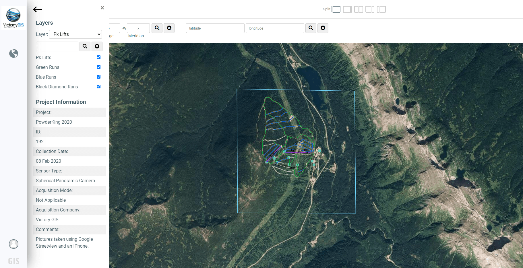
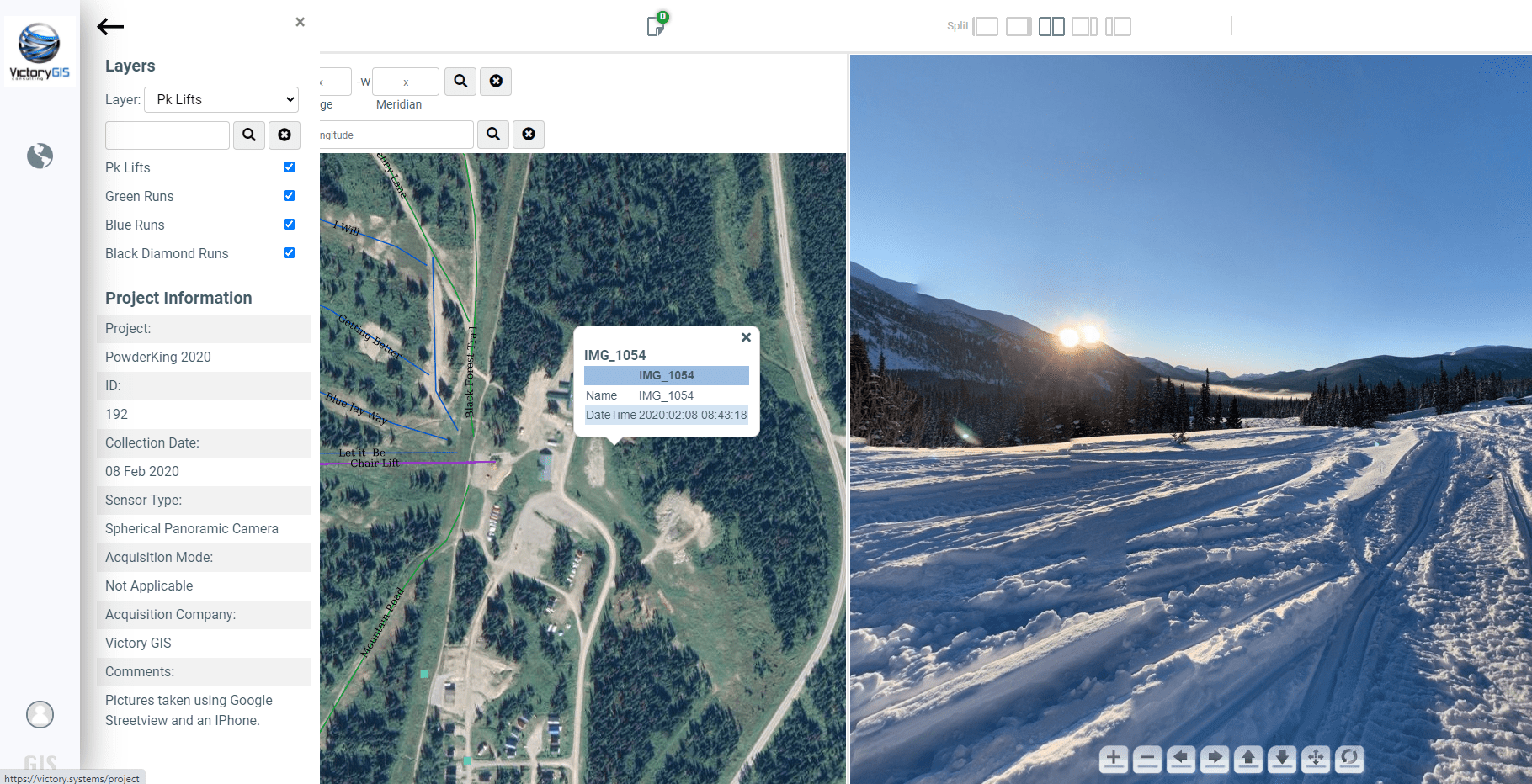
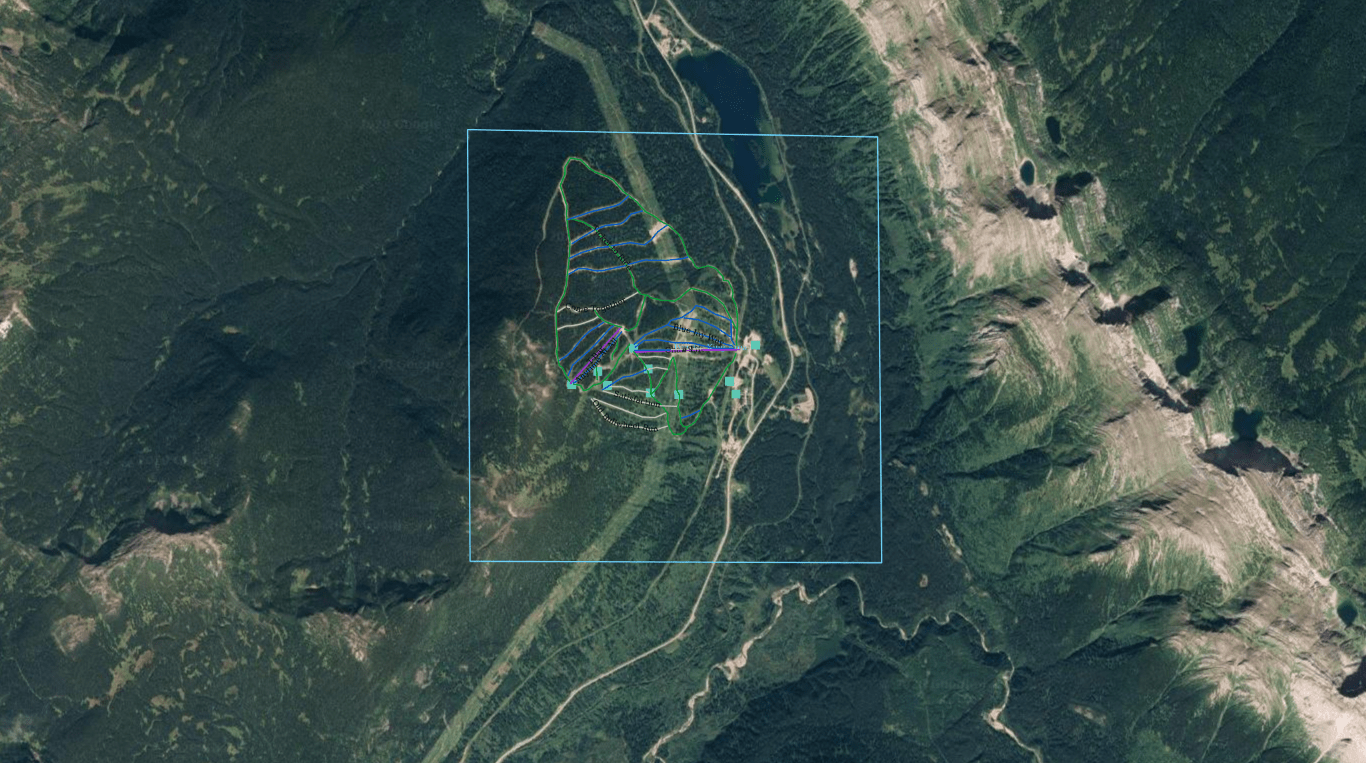
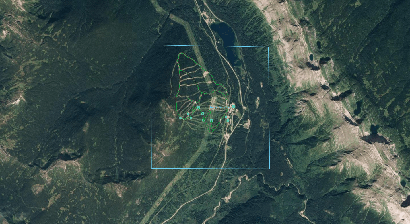
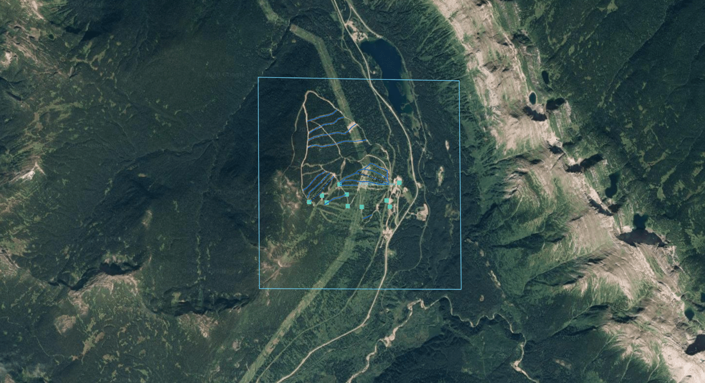
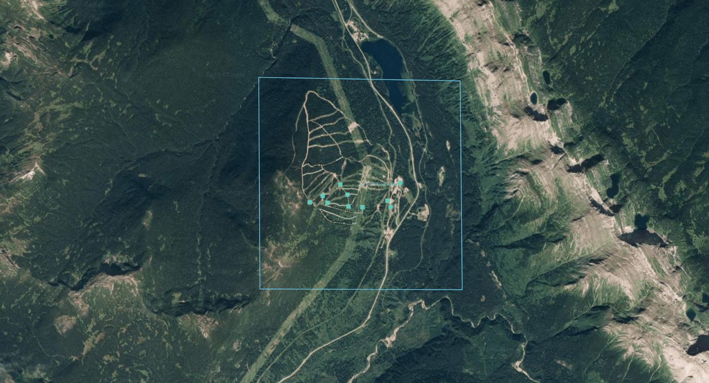
Sample Project - Powder King Ski Hill
View the project demo
Login to the demo website. You can turn on the satellite view with the toggle on the bottom right corner. Click on the green dots to view the location close up.